LAKE OF THE HANGING GLACIER
TRAIL CLOSED
An early section of trail has become unstable and unsafe. Please do not attempt to hike this trail.
TRAIL REPORTS
MAPS
PHOTOS
LAKE OF THE HANGING GLACIER
TRAIL DESCRIPTION
If you have time for only a hike or two this summer, Lake of the Hanging Glacier should, arguably, be at the top of your list. Typically, it’s a later in the season hike, as the bridge over Hell Roaring Creek is not installed until the start of the summer hiking season (late June/early July) after the danger of any washouts has passed. It’s removed again in the fall.
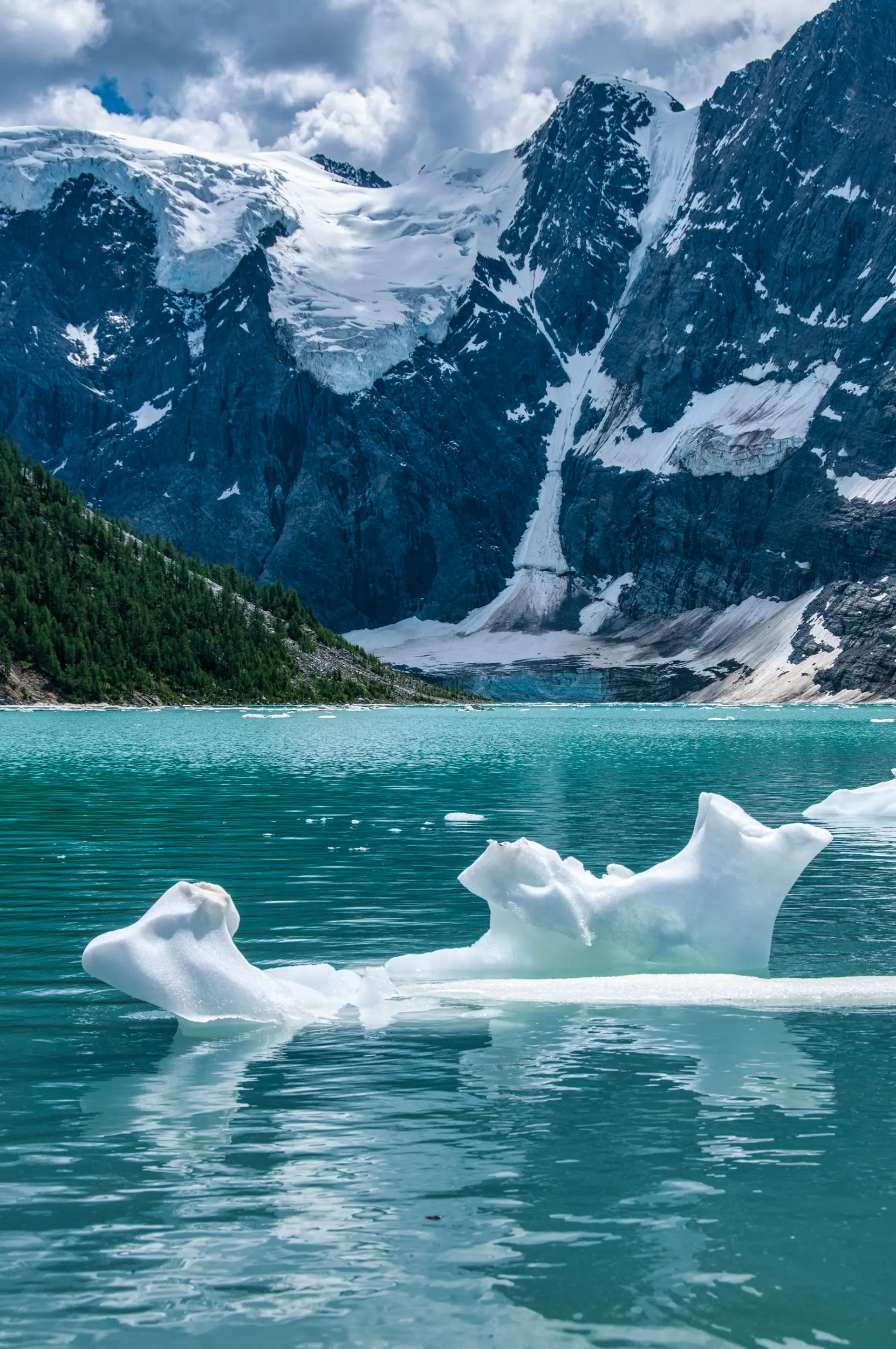
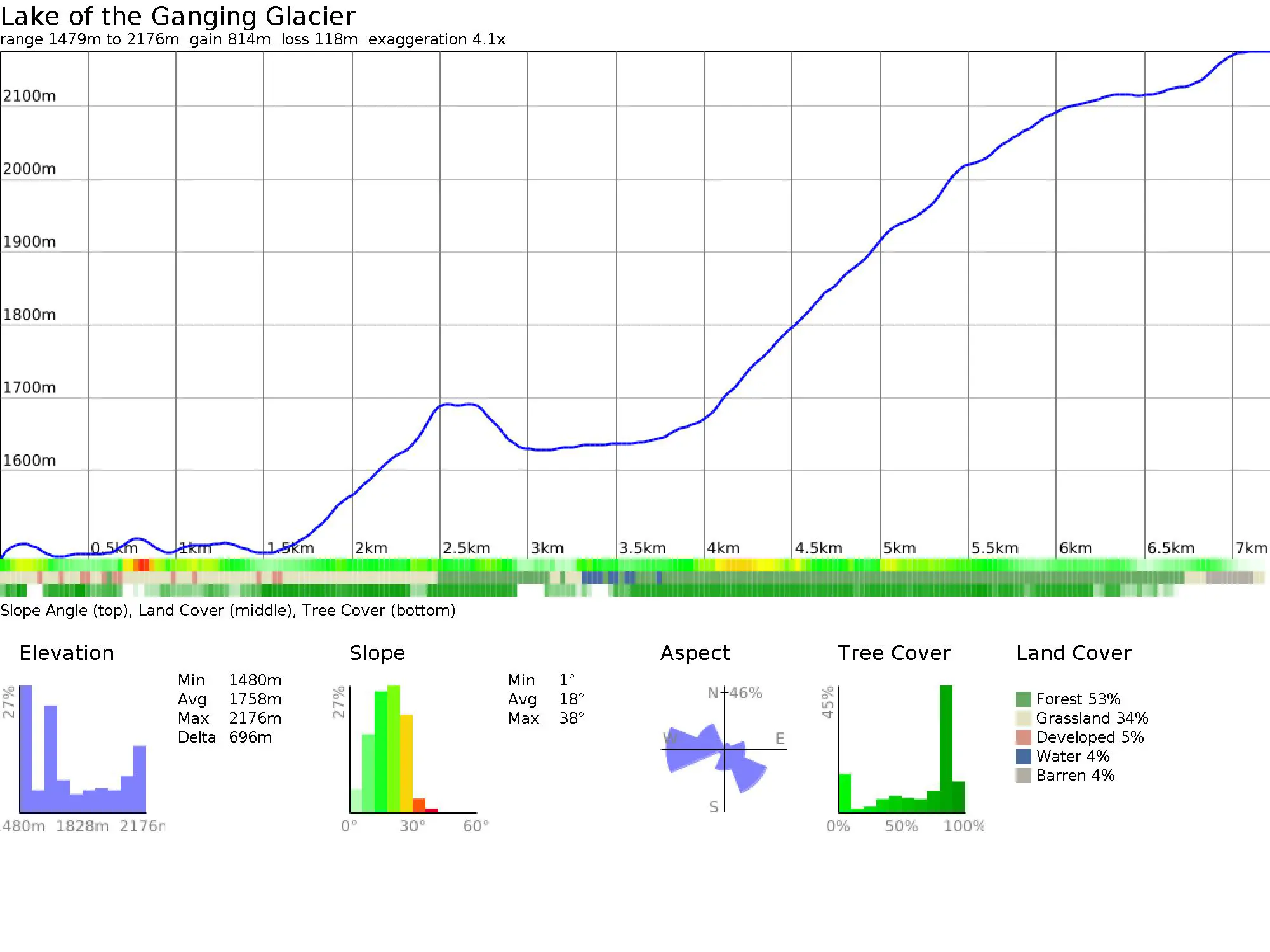
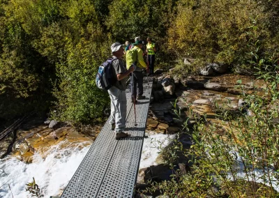
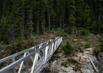
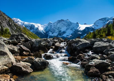
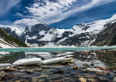
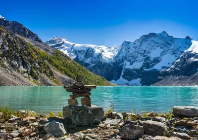
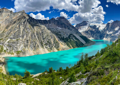
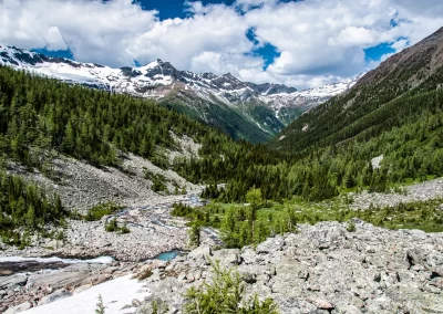
The trail starts by following a gentle grade along the north side of Horsethief Creek. The trail swings away from the creek at 1.8 km climbing through the forest until you reach the turbulent Hell Roaring Creek. Plunge back into the forest on the other side of the creek for another 1 km before reaching the new permanent aluminum bridge supplied by Recreation Sites and Trails BC. From here the trail climbs steeply through the forest beside Horsethief Creek. Don’t count on intimate conversation with your partner on this portion, as you climb higher the creek turns into a raging torrent. The trail is shaded and cool on those hot summer days and there are several great viewpoints, an opportunity to catch your breath and enjoy the cool mist coming off the creek. This stretch is one of the highlights of the hike, the creek at this point looks like a kilometre long waterfall as it rushes down the mountain. As you veer away from the creek, the noise recedes into the background and the solitude of the forest returns. A steady climb takes you over avalanche slopes and a couple of two-log bridges. Eventually the trail emerges from the forest with views of a cascading waterfall coming from the lake. Make sure you have your camera handy for some shots of the always curious marmots lazing around the rocks. The real reward is just over the ridge. Be prepared to have your breath taken away, as you get your first glimpse of the mountains and glaciers that flank this spectacular lake. You will want to spend some time at the lake. It’s the perfect spot to stop for lunch with a backdrop of ice floes, glaciers and snow-capped mountains If you want a close-up view of the glacier, hike over rocky terrain on the east side of the lake. There is no trail.
Caution: even on the hottest days of summer, it can be cool and windy at the lake. Have some warm clothing on hand.
TRAIL MAP
DRIVING DIRECTIONS
High clearance vehicle recommended/watch for logging trucks. Set your odometer to zero at the traffic lights on Highway 93/95 at the Invermere junction. Go west into Invermere. At 2.6 km turn right onto Panorama Drive. At 4.5 km just after the Toby Creek Bridge, turn right toward Wilmer. At 7 km turn right onto Main St and drive through Wilmer onto Westside Road. At 17.8 km turn left onto Horsethief Forest Service Road. At 22 km turn left at the Y-junction to stay on Horsethief FSR. At 36 km turn right at the fork (beside 27 K marker sign). At 49 km take the right fork and cross the bridge. The trailhead parking lot is at 57 km. Caution: the road narrows because of a washout about a kilometre from the trailhead. Travel time is approximately 1 hour 45 min from Invermere.
TRAIL REPORTS
Lake of the Hanging Glacier October 7th, 2025
Bridge removed for the season.
Trail is closed due an unsafe and unstable section near the beginning. Do not attempt to hike this trail until further updates have been posted in the spring.
Lake of the Hanging Glacier Aug 2, 2025
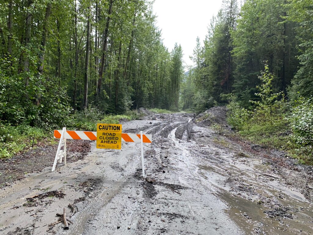
Mudslide at the 45.5km mark on Horsethief Creek FSR. Road closed until further notice. Updates on FSR closures can be found here.
*Repair work planned for Sunday Aug 3rd* *Repair work completed Aug 4th*
Lake of the Hanging Glacier July 9, 2025
Road is washboard from Radium to crossroads, good till turnoff to LOTHG sign, deep water bars to trail head. The bridge over Hell Roaring Creek has been installed and the trail is safe to hike. Please note this brdige will be removed in the fall and it is not recommended to cross Hell Roaring Creek without it.

Lake of the Hanging Glacier October 10th, 2024
The bridge over Hell Roaring Creek has been removed for the season.
Lake of the Hanging Glacier August 21, 2024
The bridge over Hell Roaring creek has been installed. High clearance vehicle recommended to navigate water bars on road to trail head.
Lake of the Hanging Glacier July 8th 2024
Attention! The road 3km from the trail head has washed out and impassable at this time. *Update – the road has been repaired.* The bridge over Hell Roaring Creek has not been installed. Do not attempt this hike until the bridge has been installed.
Lake of the Hanging Glacier September 28, 2023
The bridge over Hell Roaring Creek was taken out by a work crew on September 28. It will be put back in late June or early July 2024. Trying to cross without a bridge is extremely dangerous and can be life-threatening.
