BREWER CREEK
MAPS
TRAIL REPORTS
PHOTOS
BREWER CREEK
4.07 km
Length
408 m
Elevation gain
TRAIL DESCRIPTION
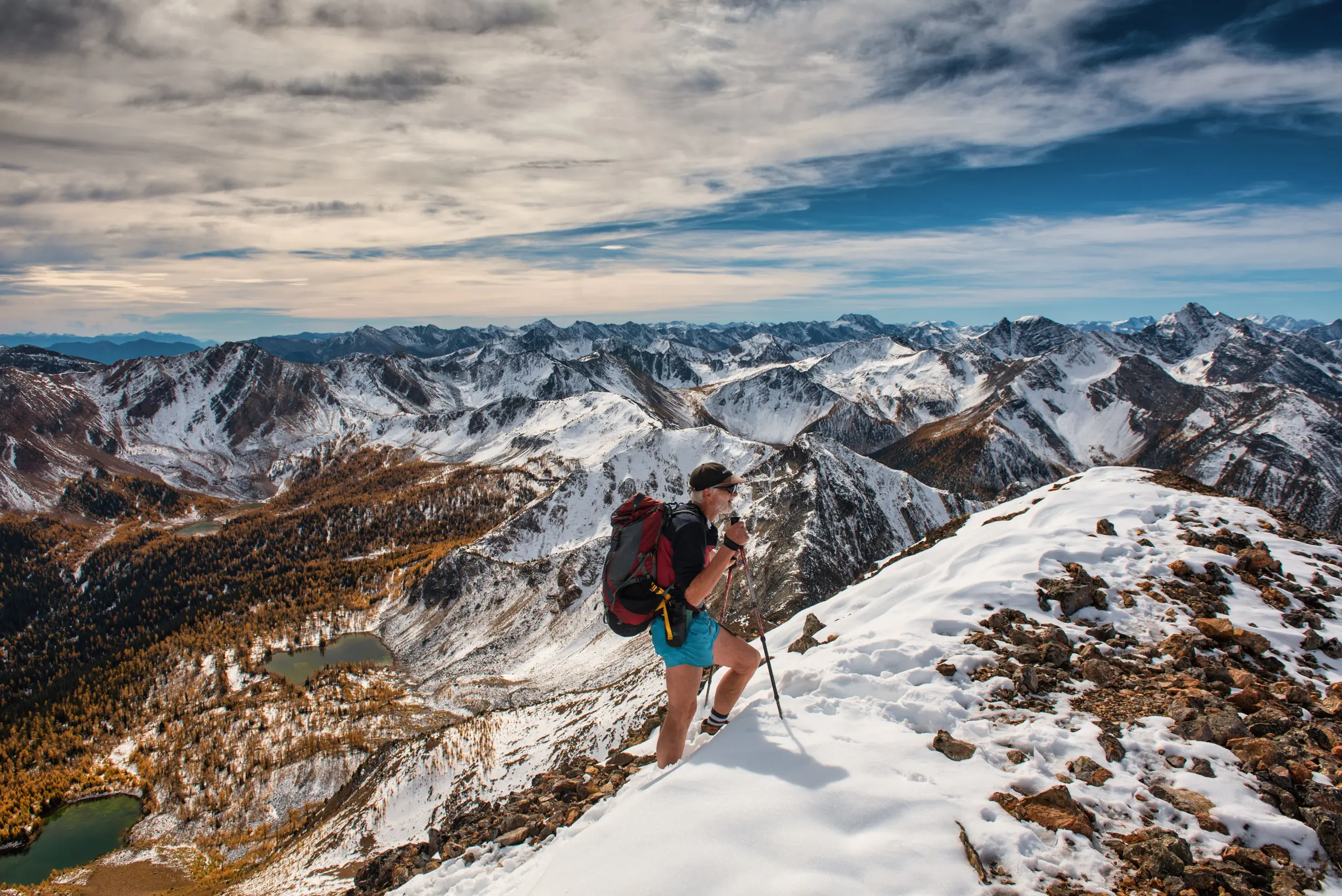
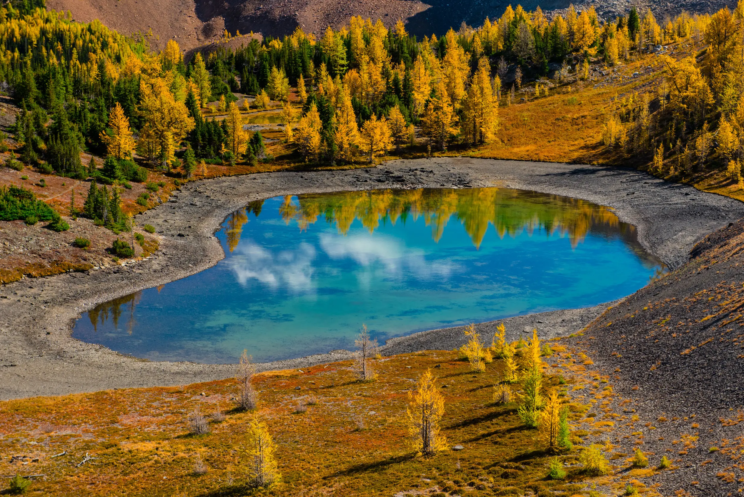
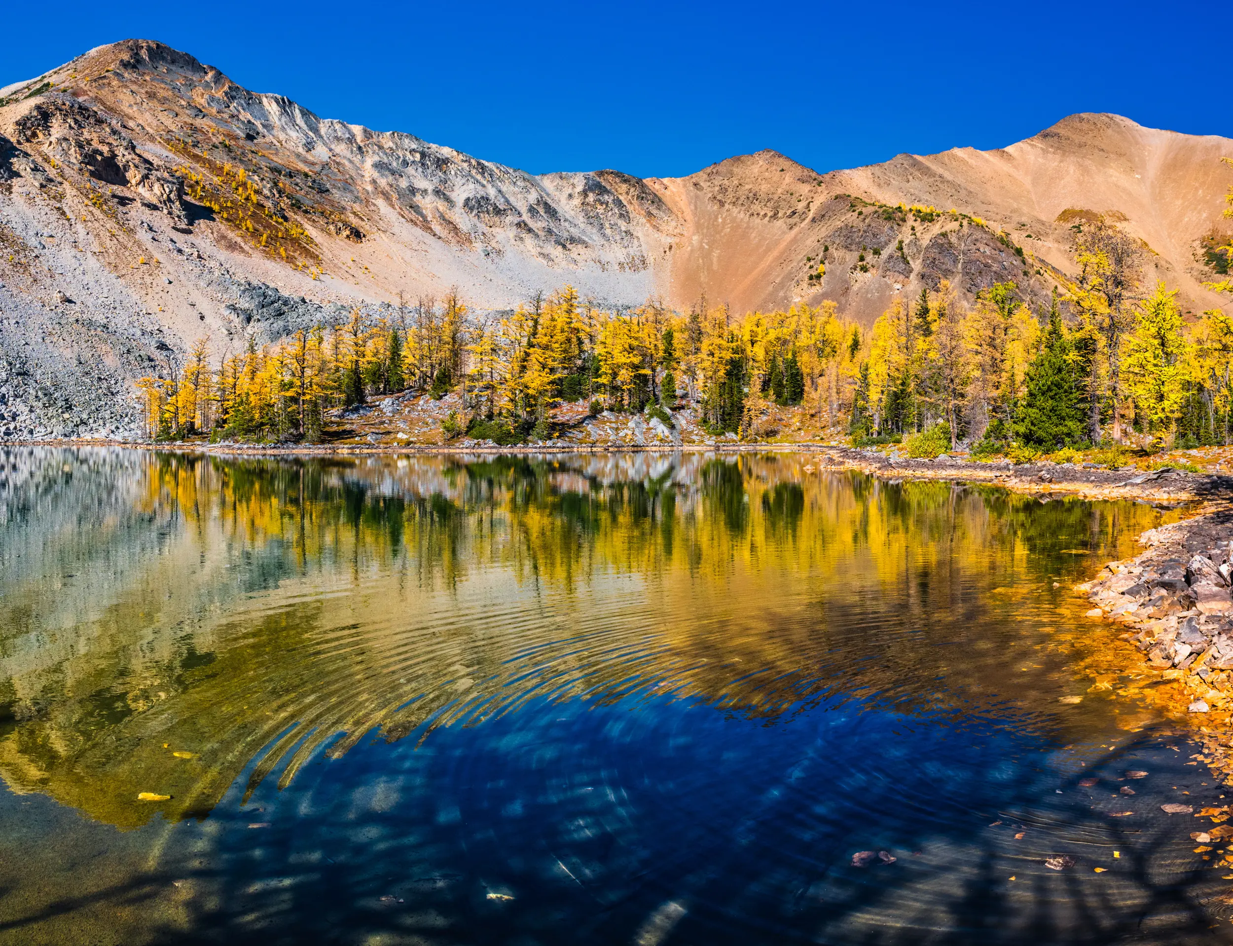
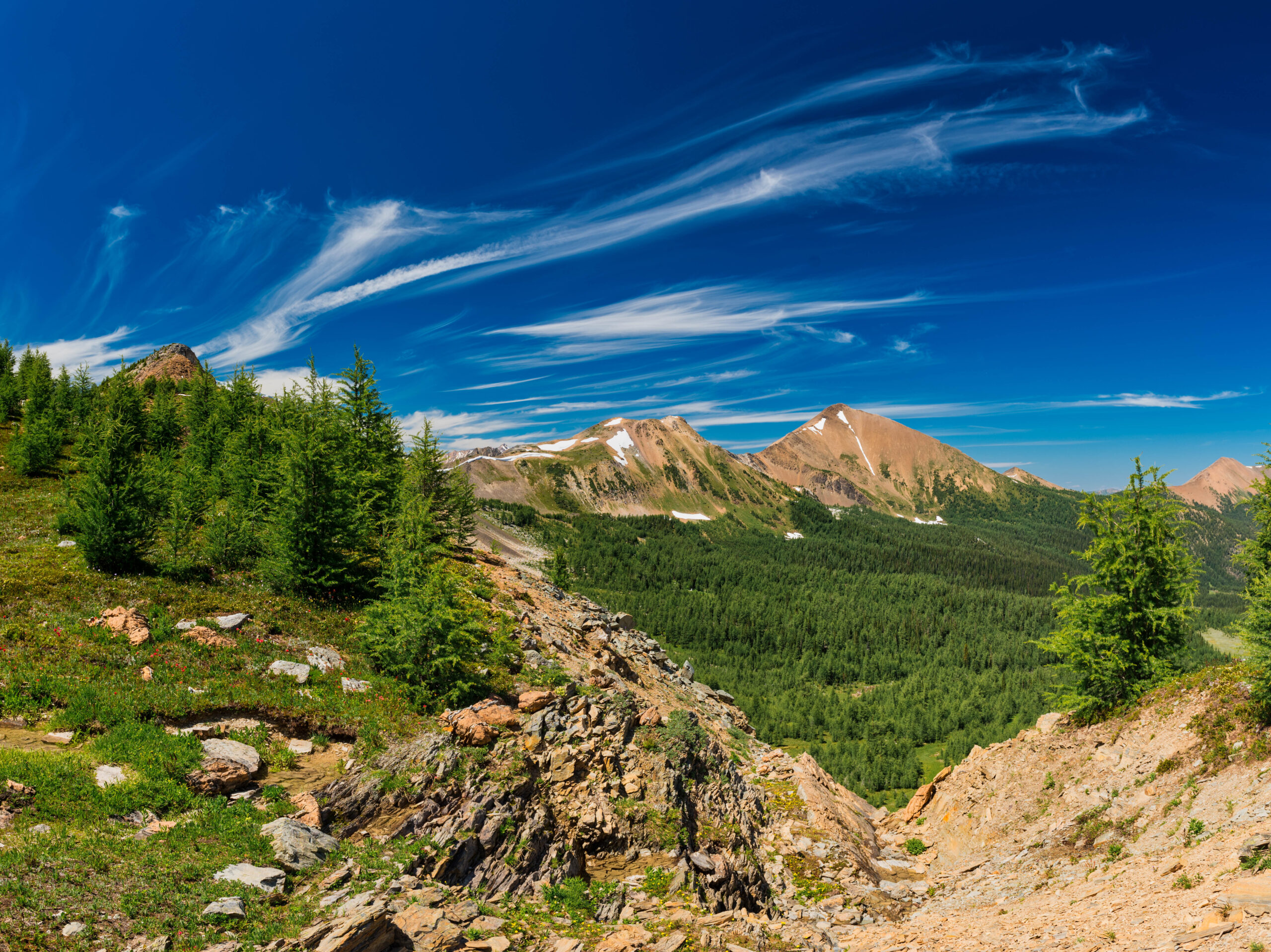
This hike is a local favorite. Wet marshy areas, the sounds of a bubbling creek, beautiful open meadows and crystal-clear tarns – Brewer Creek offers something for everyone. Noted for its variety this can be an easy day hike to Brewer basin or take advantage of the connections to Mineral or Hopeful Creek trails for longer hiking options. The trail starts on an old road and crosses both Brewer Creek and a couple of small streams before coming to an open area. It then swings into the forest, followed by some steep sections and a couple of marshy areas. Once you reach the Brewer Creek Basin follow the trail to the right to a couple of tarns at the base of Mount Brewer. If you want to extend your day, scramble up Mt Brewer for some great views of Mineral Creek to the west and the entire Brewer Basin.

TRAIL MAP

DRIVING DIRECTIONS
– From the stop lights at highway 93/95 and Athalmer Road it is approximately 22.4 km to the Hawk Road turn off on the Westside Road
– At the lights at Sobey’s turn right
– Go about 100 m to the T-intersection and turn left onto 10 Avenue
– Continue on 10th Avenue past the hospital to the first stop sign
– Turn right onto 13th Street
– Go about 300-400 m to a stop at a T-intersection — Laird Elementary is in front of you
– Turn left onto 13th Avenue which eventually turns into Westside Road once you leave Invermere
– Once on 13th Avenue it is about 18.3 km to Hawk Road
– At Hawk Road turn right — you will see a parking area immediately on your right, but continue on for another 26.5 – 27 km to the trailhead
– Once on Hawk Road you travel 11 km until you come to a fork
– You go straight (the other road goes left) up a slight hill for 0.5 km before taking less travelled road going left. There should be a Brewer Creek sign here.
– Continue on this road for the next 15 km to the trailhead. To avoid hiking the last 2.3 km make sure you are in a high-clearance 4-wheel drive vehicle
– Expect a 60-70 minute drive from Invermere
TRAIL REPORTS
Brewer Creek June 28, 2026
Road is in good condition until the last 2km which is rough as usual requiring high clearance 4×4.
Light trail work was done on this trip but volunteers will be heading up to do usual maintenance and to complete the reroute that was started in 2025 as weather permits.
Brewer Creek July 2, 2025
Road is rough beyond last bridge. High clearance recommended. Trail is good condition.
Brewer Creek August 9th, 2024
The road currently has a rock/gravel slide 1.6km from the trail head and is impassable. Plan to park before the slide and hike the additional distance. *Update – This slide has now been cleared and the road is open to the trail head*
Brewer Creek July 18, 2023
A STMS work crew went in on the 18th to brush back the vegetation on the road and on the trail. A grader has been at work on the road which will help with some of the potholes, but may have pulled up a rock or two in the process. Drive with caution. The last 2 km a high-clearance vehicle is still required.
TRAIL PHOTOS