PINTO MOUNTAIN
TRAIL REPORTS
MAPS
PHOTOS
PINTO MOUNTAIN
TRAIL DESCRIPTION
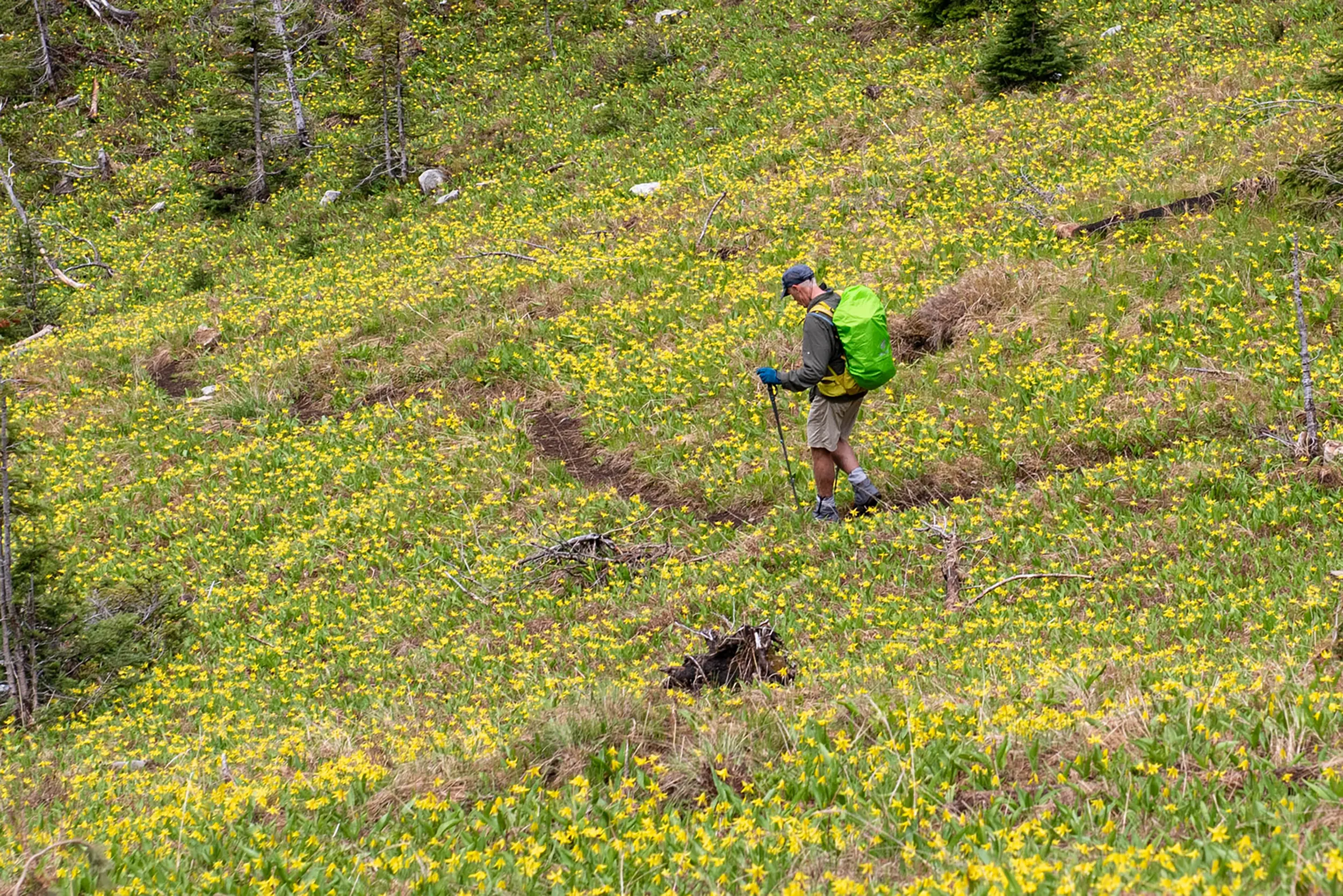
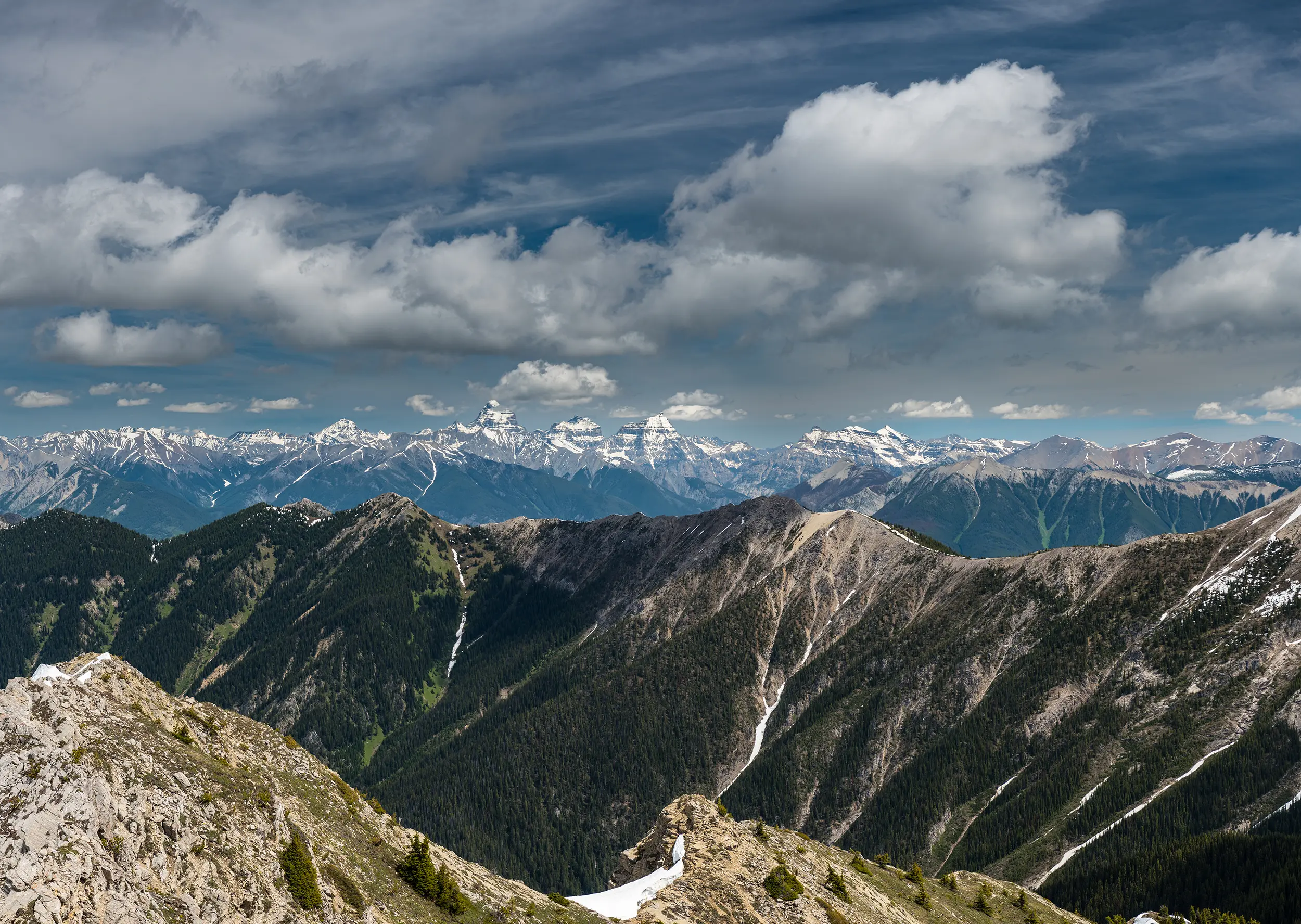
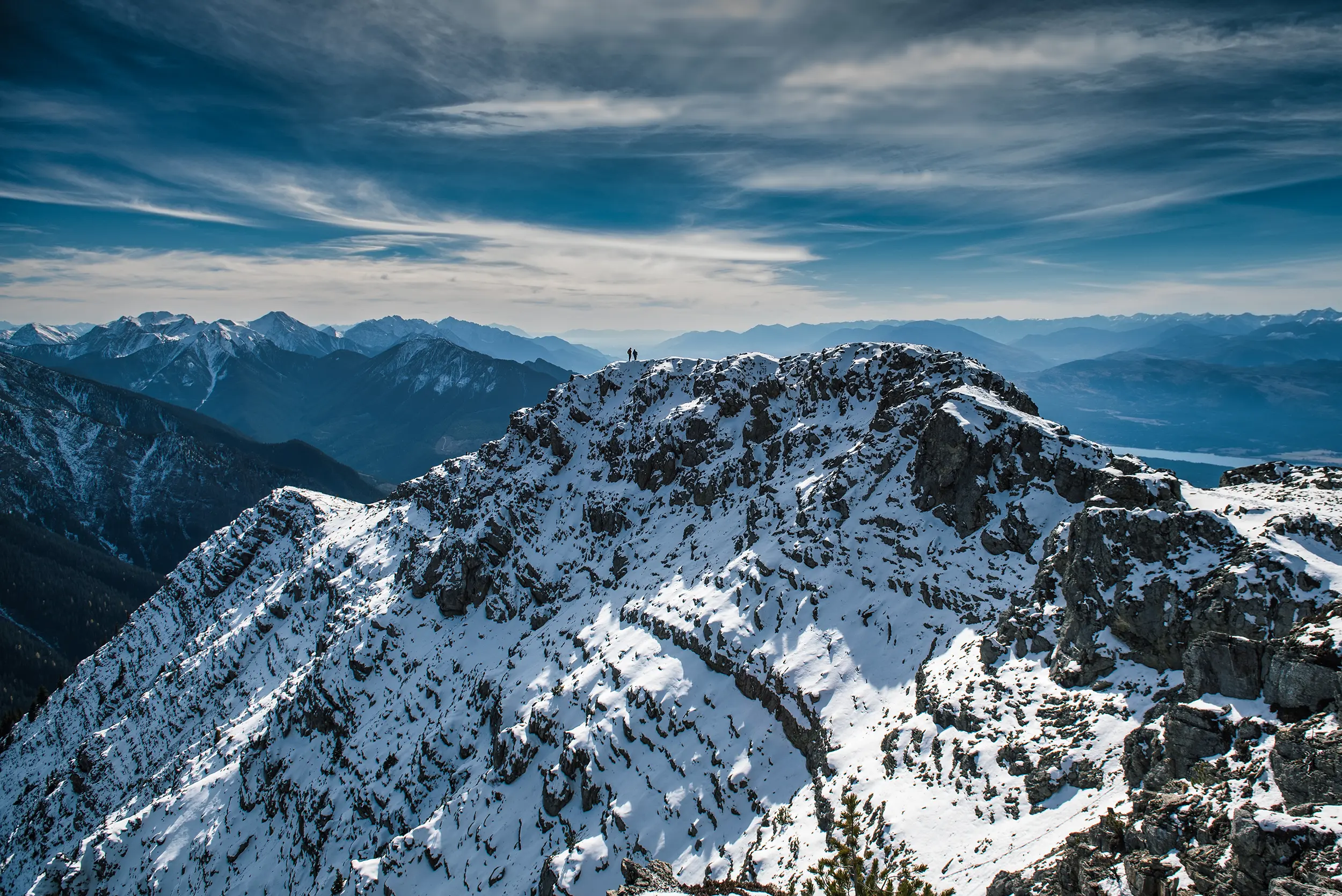
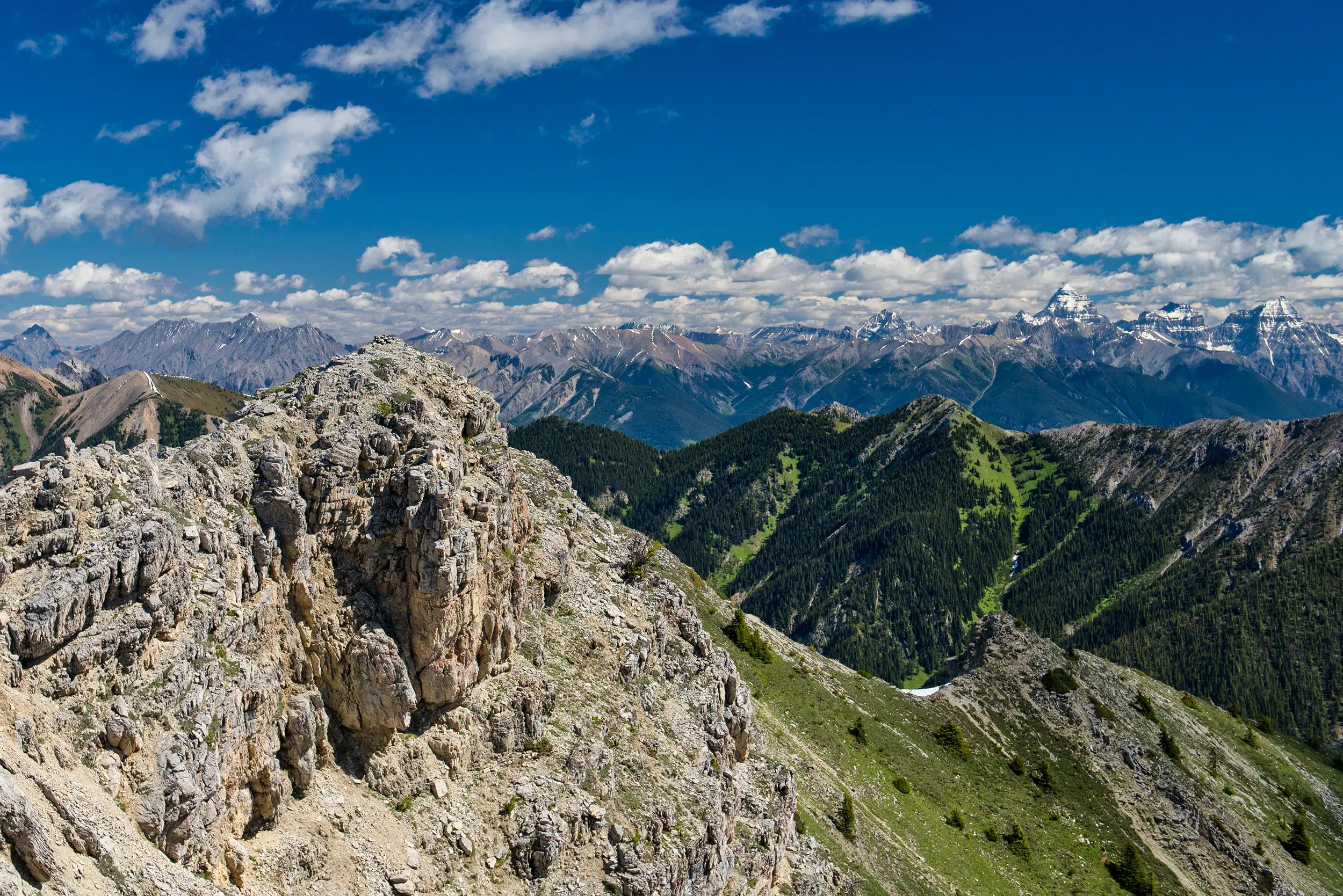
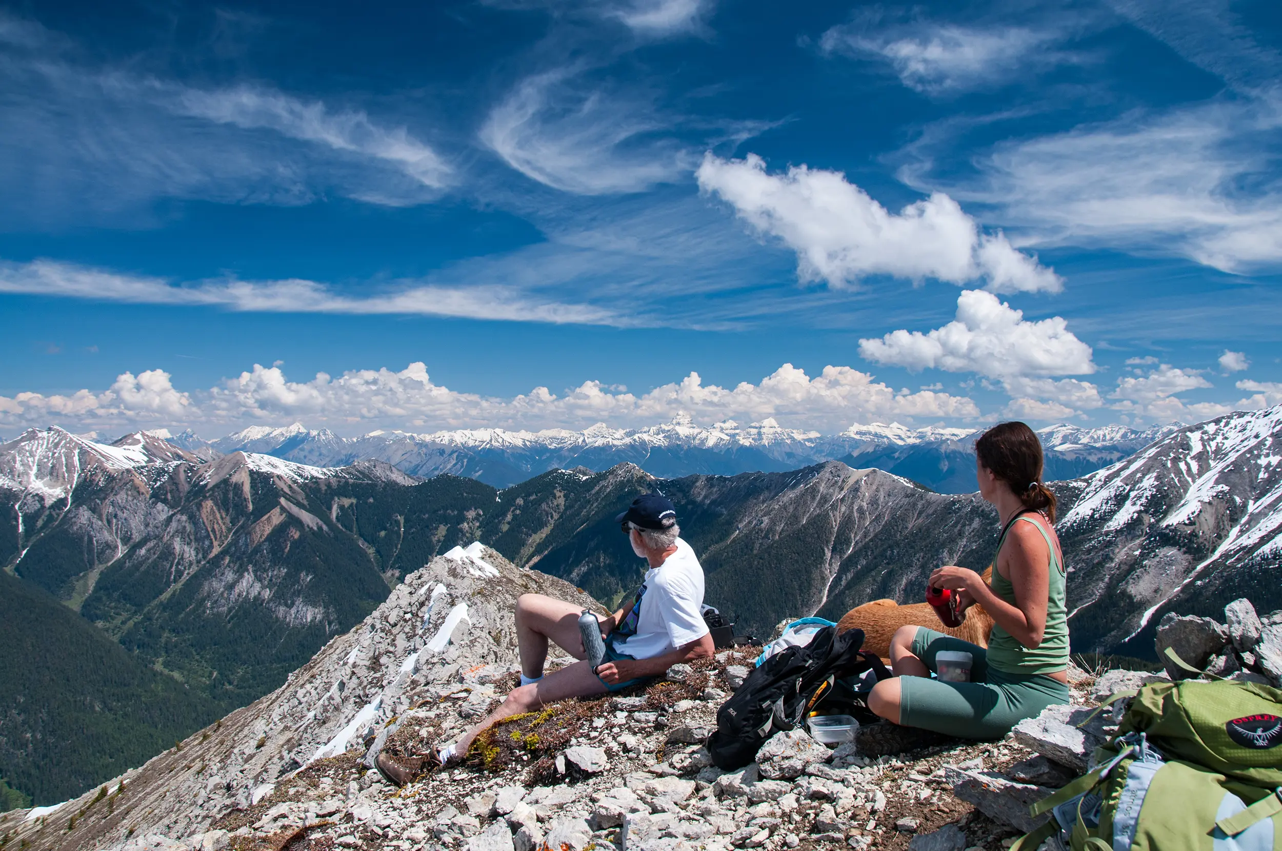
Only 20 km from Invermere Pinto is a must do hike. From the top you get unobstructed views of the Stanford Range (which Pinto is in), Mount Nelson to the west and Mount Assiniboine off to the northeast. Once on the trail the return trip is about 7.2 km with an elevation gain of 940 metres.
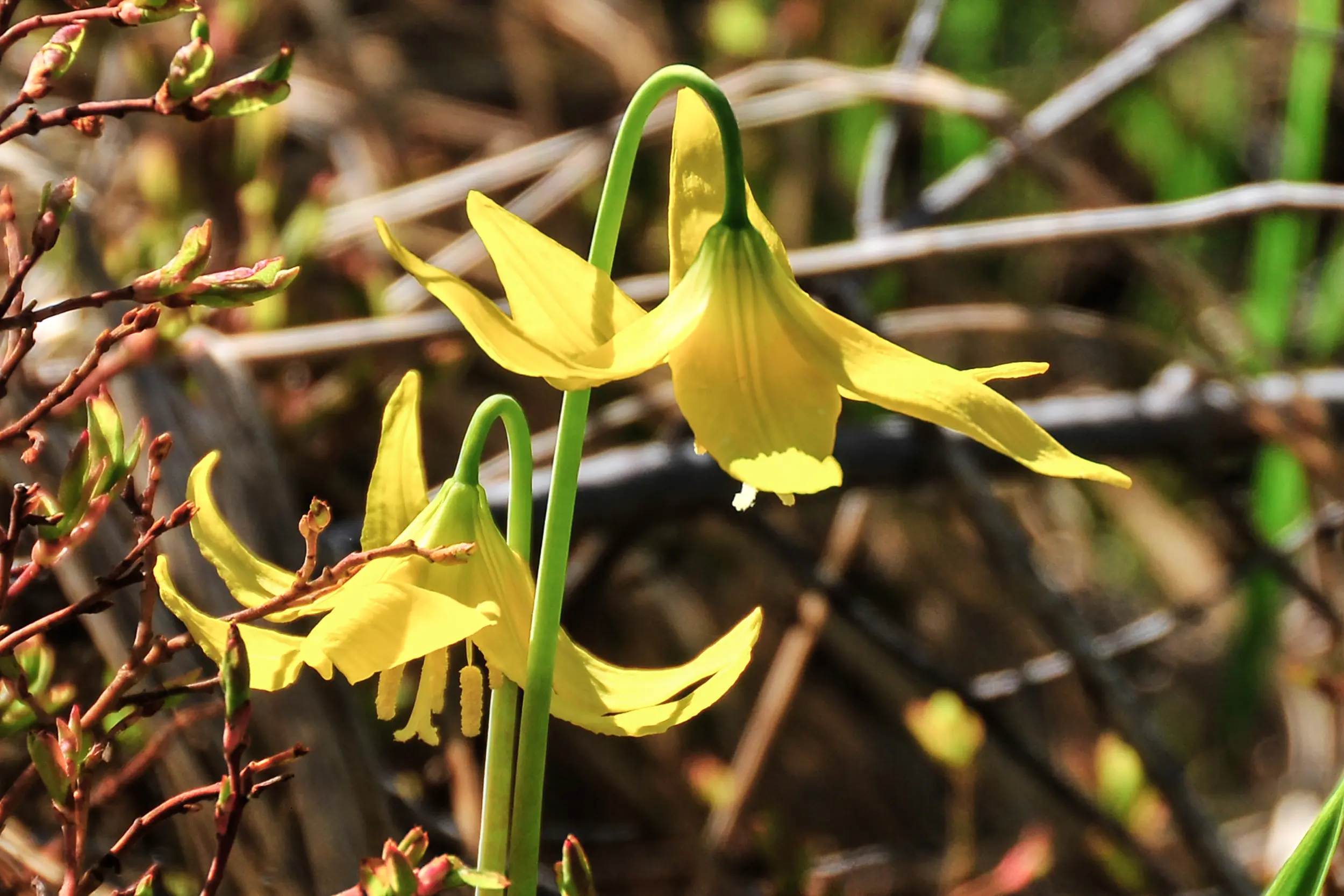
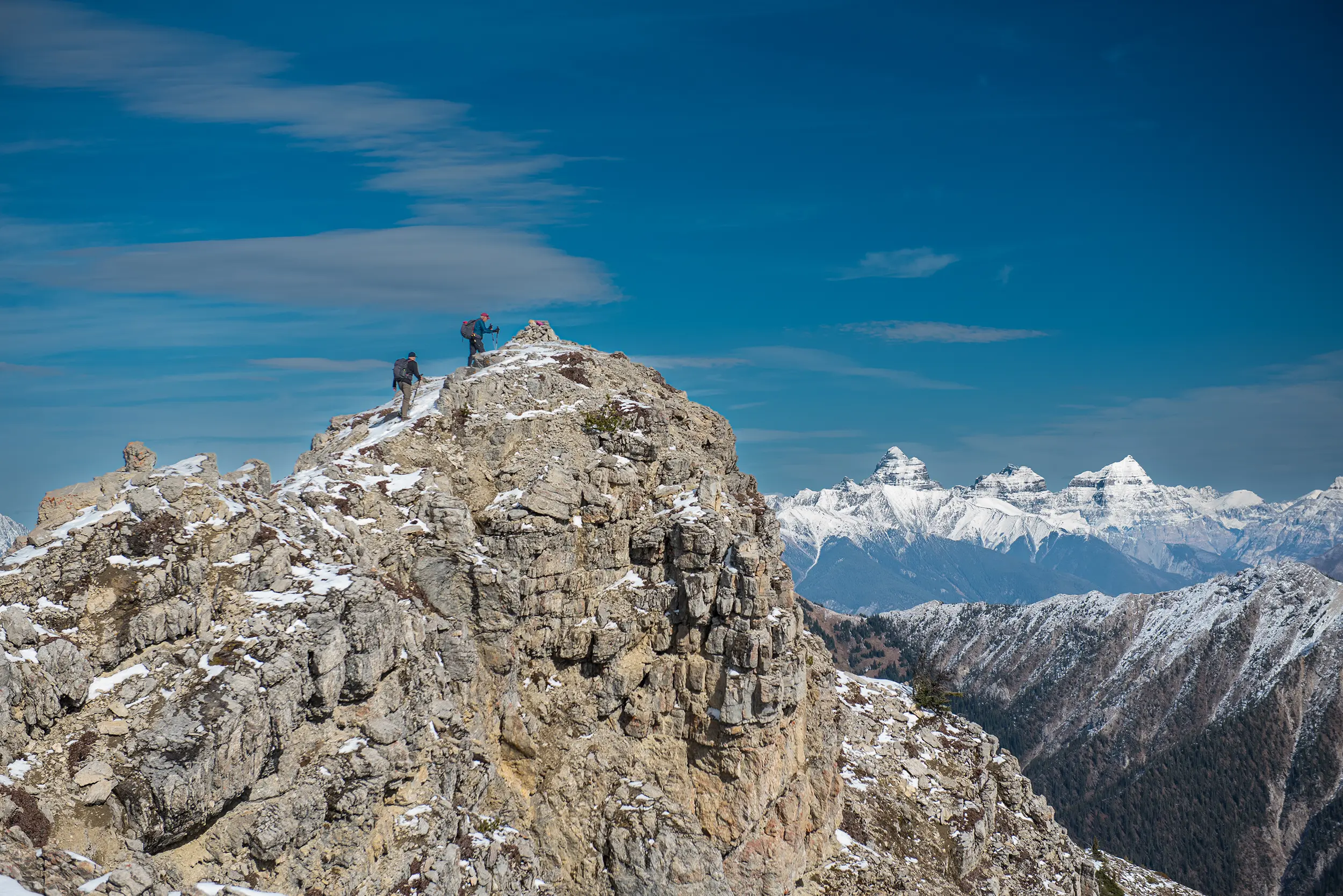
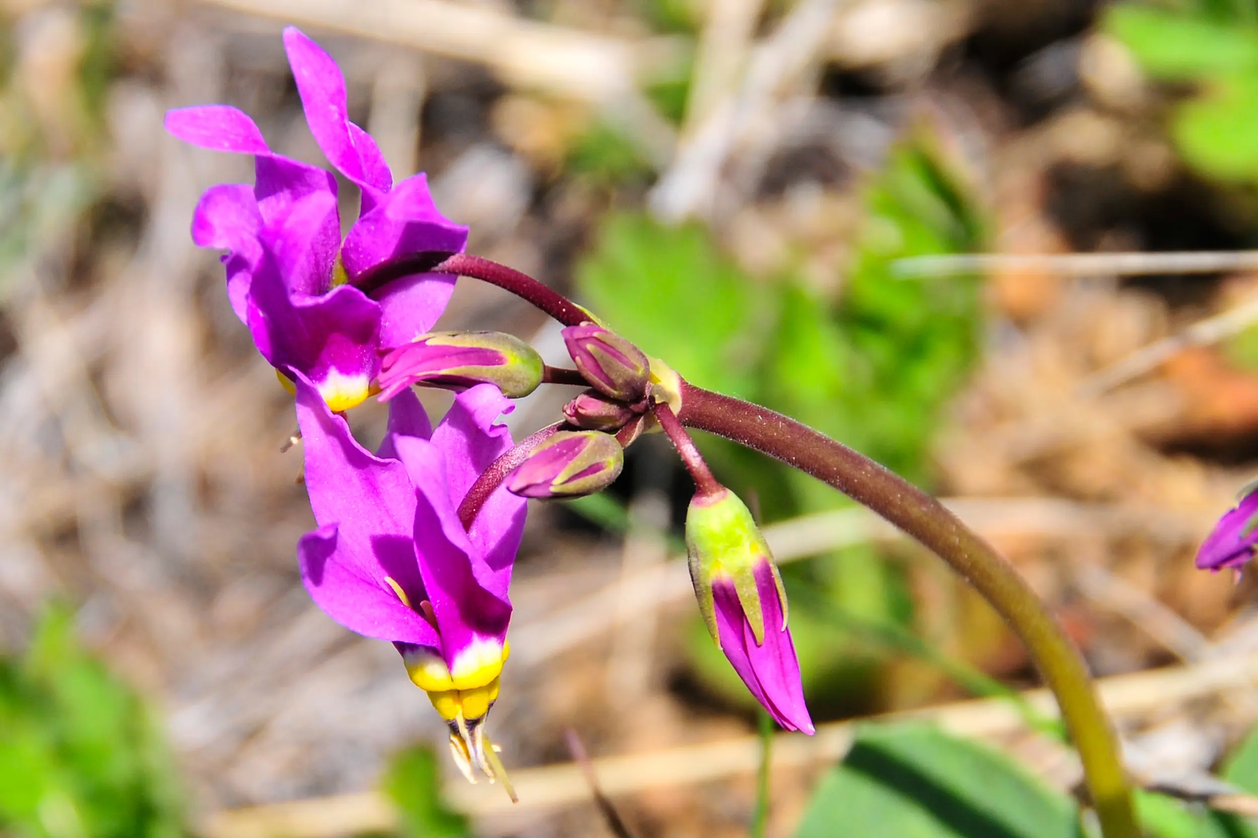
If you are early in the hiking season look for yellow lilies early in the hike. After about 1.5 km, the trail starts to open up into a large meadow with long, steep grassy slopes to the right. Continue on the trail as it goes back into the trees then on to the saddle. Here the trail takes a sharp right along the ridge to the peak. This is the steepest part of the hike but you will be rewarded with some great views of the valley and the Purcell mountain range. As you near the top you will encounter a false summit. The actual summit is a bit further on, marked by a cairn.

TRAIL MAP

DRIVING DIRECTIONS
Driving from the lights at Tim Horton’s go south on highway 95 for 2.9 km where you turn left onto the Windermere Loop Road. Go for 3.2 km where you turn left onto the mine road. You are very close to the Mount Swansea recreation area. From the CertainTeed Mine maintenance shed, go 3.2 km to take the first left onto a gravel road. After years of inactivity, this area will see some active logging either this summer or next, so watch for road maintenance and logging trucks. Stay on this road for the next 6.7 km, and after a steady climb this road will level out where you start to look for the first right. Go about 800 m where you take the more well worn road on the left for the last 500 m to the parking lot. Driving from the lights at Tim Horton’s to the parking lot is about 17.5 km with an elevation gain of 720 m.
TRAIL REPORTS
Pinto Mountain June 12, 2024
Deadfall cut out on the lower portion of the trail. Trail reroute where avalanche covered old trail at about the 500 metre point of the trail, about 50 metres of new trail built. Snow remains on upper portion of the trail.
Pinto Mountain May 24, 2023
The access road is in good shape all the way to the trailhead, but beware of the 10 water-bars after the 11 km mark. These were added last year and they are very deep. A high clearance vehicle is highly recommended, you have been warned. There is no active logging on the Pinto road this summer. The Glacier Lilies are out and should provide lots of colour for the next week or so. Two weeks earlier than last year, they are not quite at their height. The upper trail saw fresh snow early this week but should be gone after the first sunny day.
TRAIL PHOTOS