PEDLEY PASS
TRAIL REPORTS
MAPS
PHOTOS
PEDLEY PASS
TRAIL DESCRIPTION
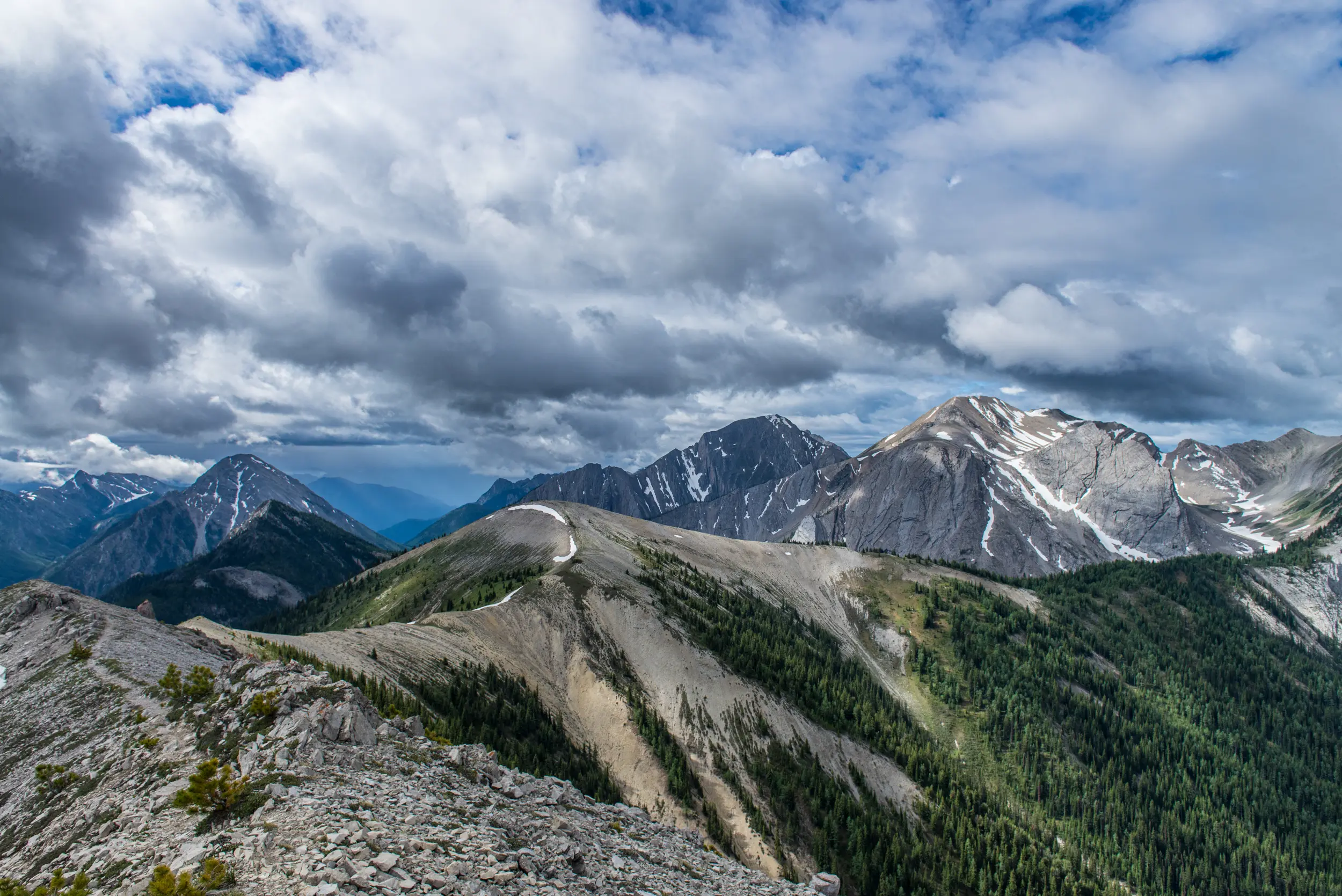
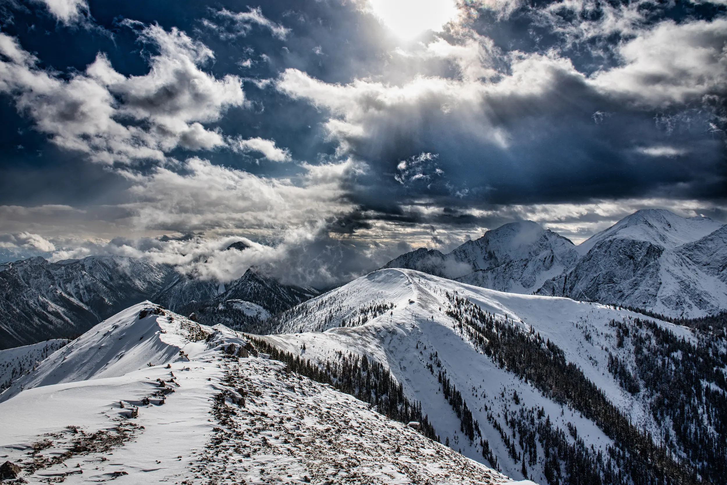
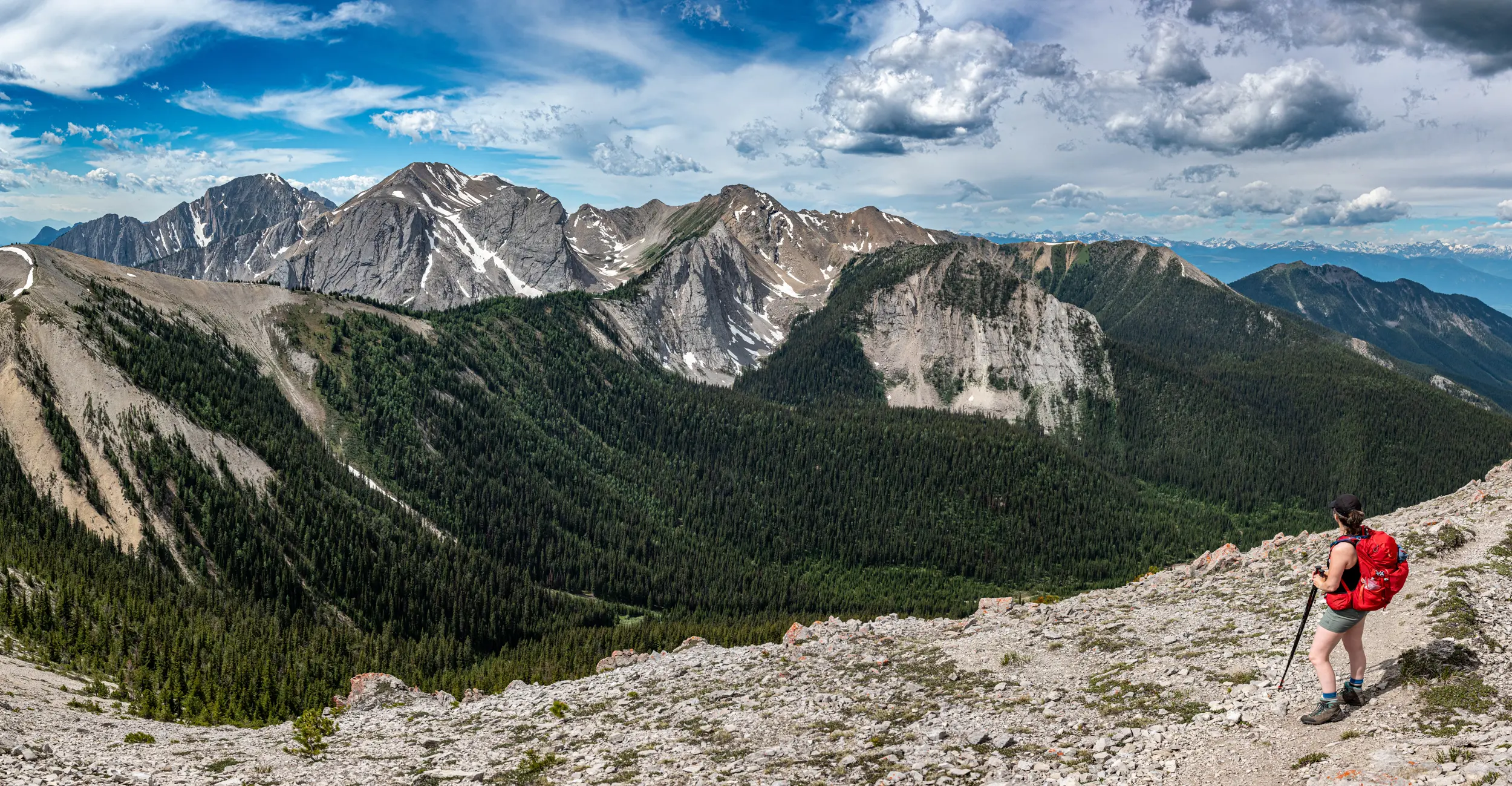
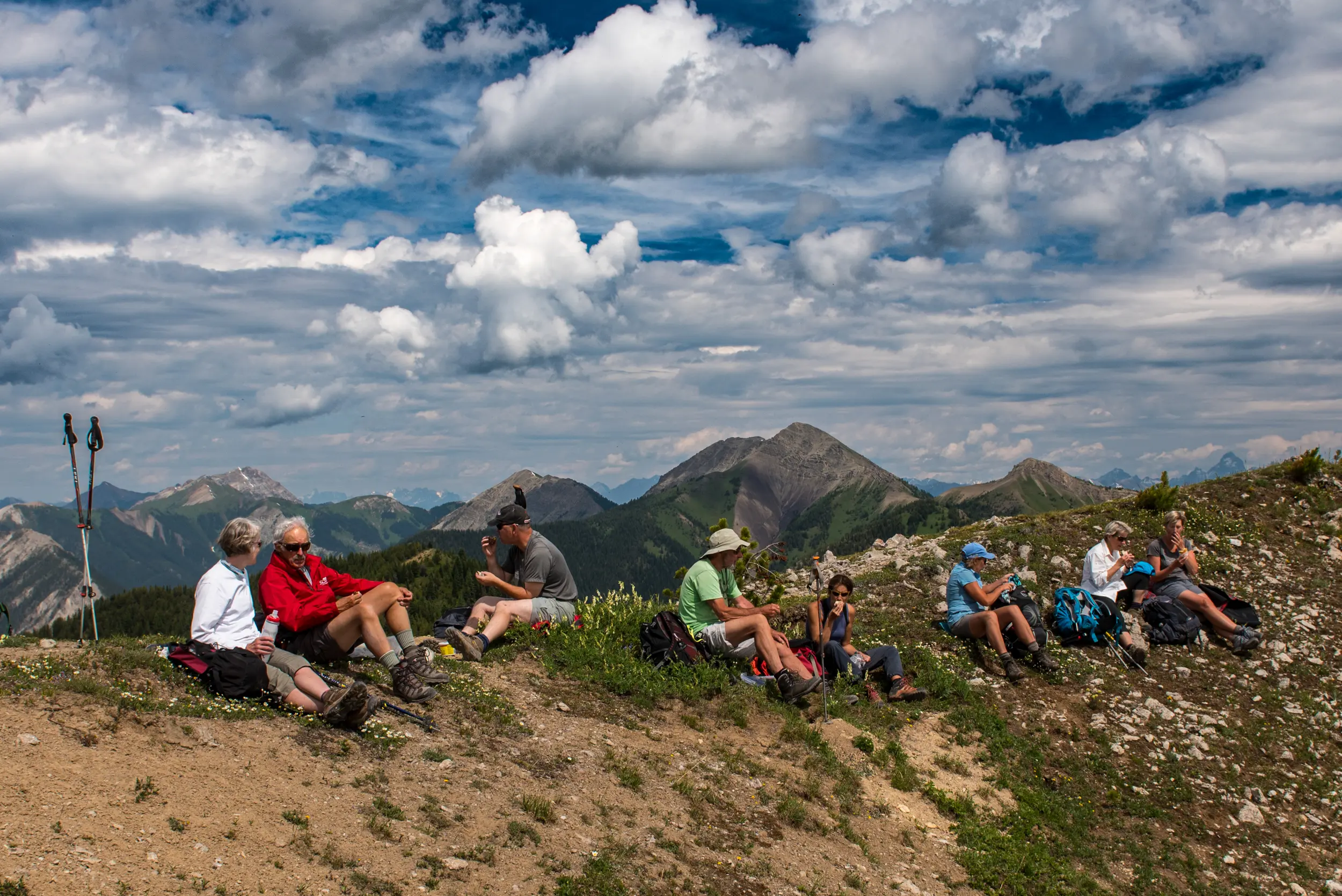
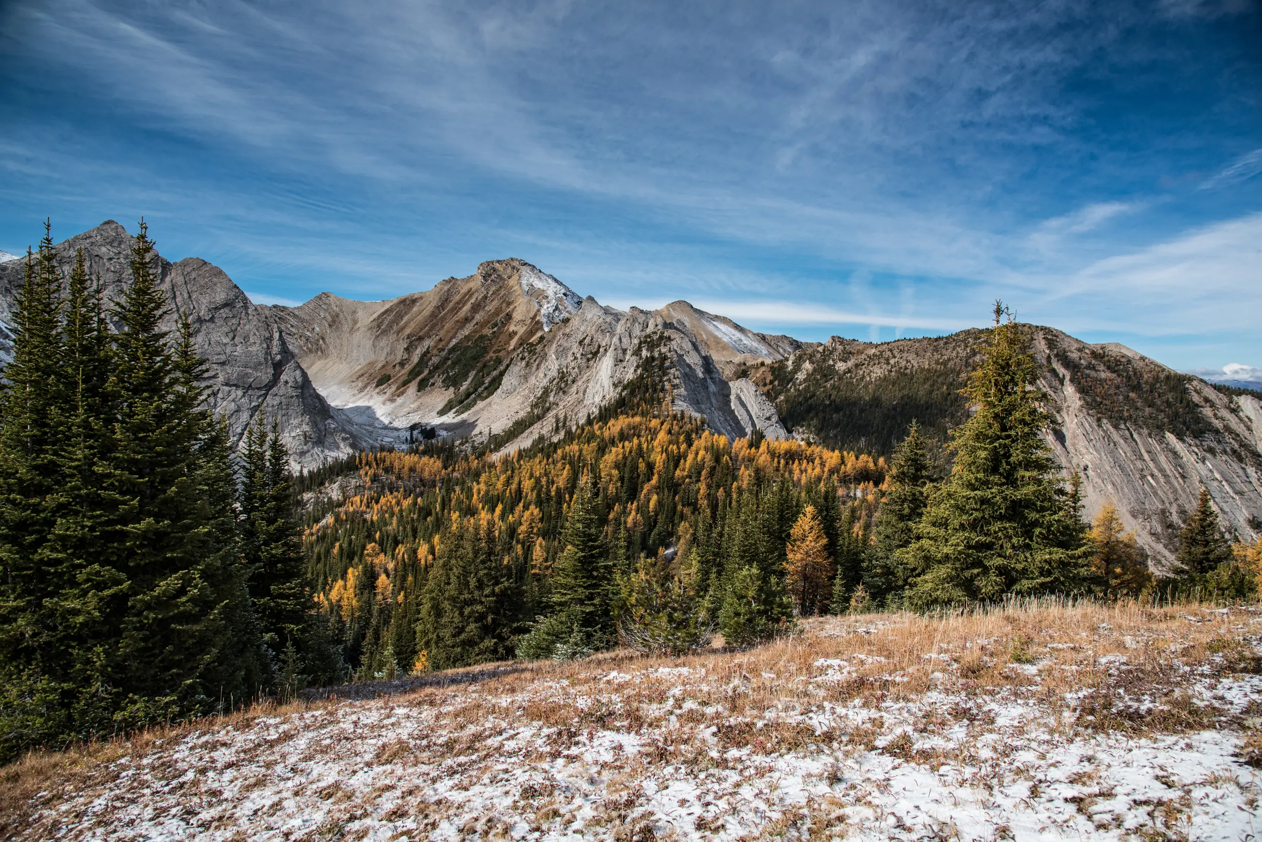
Pedley Pass offers options for hikers of all abilities and lots of room for exploration. Start at the south side of the parking lot and travel in a southwest direction. You’ll soon come upon ‘Bumpy Meadows’ – an area covered in large grassy bumps which are caused by frost heaving the soft moist earth. The trail stays to the left of the grey limestone headwall, steepens and climbs to the pass. With almost 2 kilometres under your belt you are faced with options. Return the way you came, continue in a southwest direction for another kilometre to visit a small alpine tarn and the slopes of Mt Aeneas, or continue eastward for a nice open ridgewalk. Choosing the lake offers fossil exploration on the slopes above. Mt Aenaes beckons those who like summit scrambling. But the ridgewalk is a favourite of a lot of local hikers. It travels east then swings north for almost 3 km of uninterrupted views of the Kootenay and Columbia River Valleys. To return and complete the loop, follow the trail as it descends off the ridge, travelling southeast for almost 3 km/ 450 m elevation loss before arriving back at the parking lot.

TRAIL MAP

DRIVING DIRECTIONS
Set your odometer to zero at the traffic lights on Highway 93/95 at the Invermere junction and drive south for 2.8 km. Turn left on Windermere Loop Road (just past the gas station and bowling alley). At 6.1 km turn left into the Certainteed Gypsum site. Make an immediate right turn onto the mine haul road. Stay right at the fork at 9.4 km. At 13.9 km you will pass the mine site on the right. Continue on to a three way fork in the road at 15.8 km. Take the middle fork. Stay on the main road ignoring all logging spur roads. The parking lot and trailhead are at 22 km..
TRAIL REPORTS
No Results Found
The page you requested could not be found. Try refining your search, or use the navigation above to locate the post.
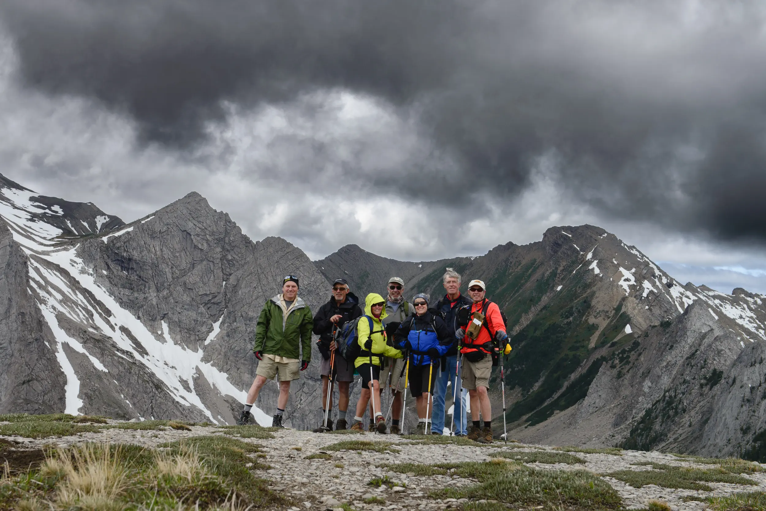
TRAIL PHOTOS