CHALICE CREEK
MAPS
TRAIL REPORTS
PHOTOS
CHALICE CREEK
TRAIL DESCRIPTION
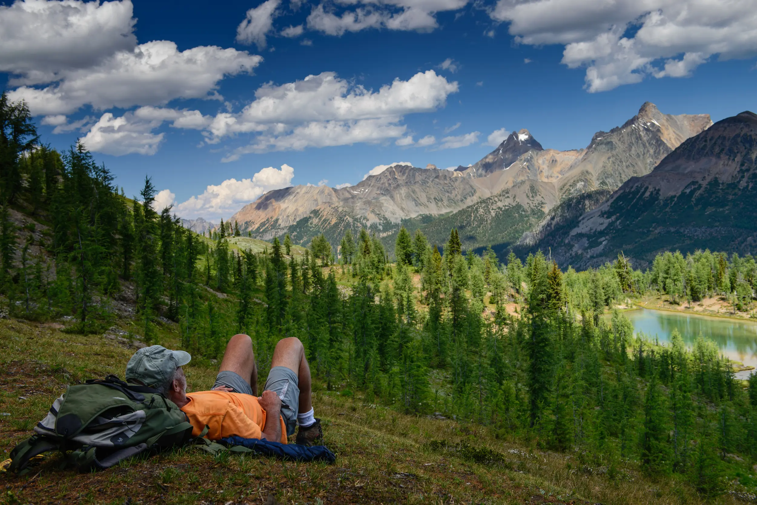
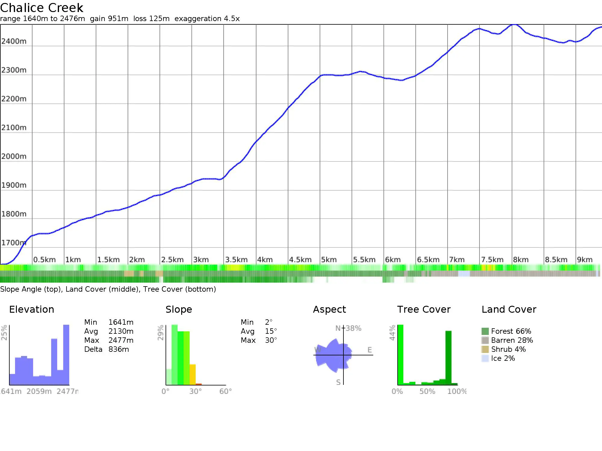
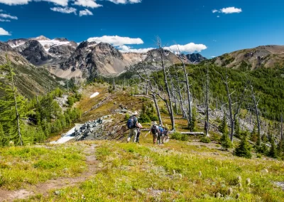
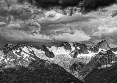
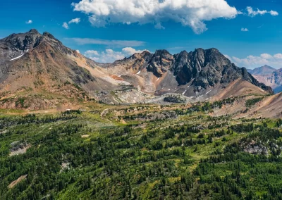
This trail provides great views of the magnificent Bugaboo spires from a distance, yet its remote location all but guarantees that you won’t be running into throngs of other hikers. The trail starts on an old logging road, and then follows the Chalice Creek drainage into the forest. It’s worth stopping to check out the creek and a couple of waterfalls next to the trail. About a kilometre into the hike, the trail crosses Chalice Creek on a footbridge consisting of a couple of logs. The next section of the hike is fairly flat, but it can be muddy. The trail then swings back into the forest and switchbacks up to the ridge. Don’t forget to stop and look back at the view (and catch your breath). As you break out of the trees onto the ridge the trail becomes indistinct. Make sure you look around to get your bearings so you can find the trail on your return trip down. A path to a small tarn is marked by a series of cairns. There are lots of options for ridge walks, limited only by your time and energy. For those with energy to spare, venture south along the ridge’s open expanse. An additional hour will get you to a col above Septet Pass (which lies to the east) with more options for summittng and scrambling.
TRAIL MAP
DRIVING DIRECTIONS
– Go north through Radium to Brisco on highway 95
– Just before entering Brisco look for a dirt road on your left
– You now have 49-50 km to travel on dirt roads to the trailhead
– If you see any signs for CMH Bugaboo Lodge, following these signs, the turn off to Chalice is just before you reach the lodge
– After about 3.5 km the open fields on either side end and the main road goes right
– After 4.9 km you have a choice, bare left up a steep hill on rough roads (shorter but rough), or continue right on smoother gravel roads to km 8.4 (from the highway) where you make turn a sharp turn left onto the Westside Rd. and continue to km 11 (from the highway)
– Here take the road to the right (look for CMH signs). This is the Bugaboo Forest Service Road.
– Stay on this road for the next 35 km
– Once you pass the Bugaboo Falls Recreation Site on your left, you have about 4 km to the Chalice Creek road
– At about km 46 or 47 (from highway 95) you pass the sign for Bugaboo Provincial Park on your right
– Shortly after this look for a road on your left crossing Bugaboo Creek (first left after Bugaboo Falls), take this road. If you miss this turn you end up near the Bugaboo Lodge and you have gone too far.
– Once across the bridge there should be a sign indicating Chalice Creek Hike, take this road to the right.
– You now travel 2.8 km to the trailhead —- this is the part where you need a high-clearance vehicle
TRAIL REPORTS
Chalice Creek Aug 31, 2025
Trail Closed due to wildfire area restriction. More info at BC Wildfire Service. *Update* Trail is open.
Chalice Creek July 12, 2025
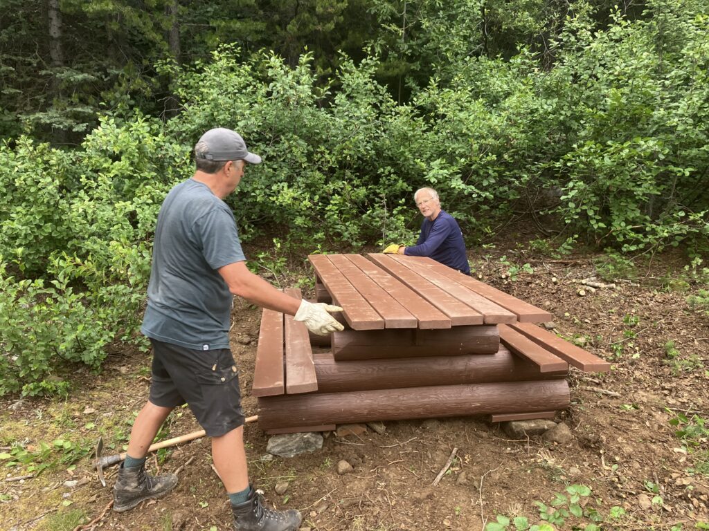
Trail in good condition. Road ok with some pot holes. New picnic table installed and stucco wire installed on bridges.
Chalice Creek June 18, 2025
The main road to the Bugaboos was in fair conditions.
Alders were cut back along a large stretch between the first and second bridges. Trees were removed along the trail, well beyond the second bridge.
As usual, alders were trimmed back along the access road as well.
Trail is in good condition.

Chalice Creek June 24, 2023
A crew of 8 STMS members spent the day removing fallen trees on the trail and brushing back the vegetation on both the road and the trail. The road and the trail are in good condition and the trail is clear of snow up to the ridge.
